

A ‘seismic swarm’ affecting Granada has now produced more than 1,000 earthquakes in just 10 days.
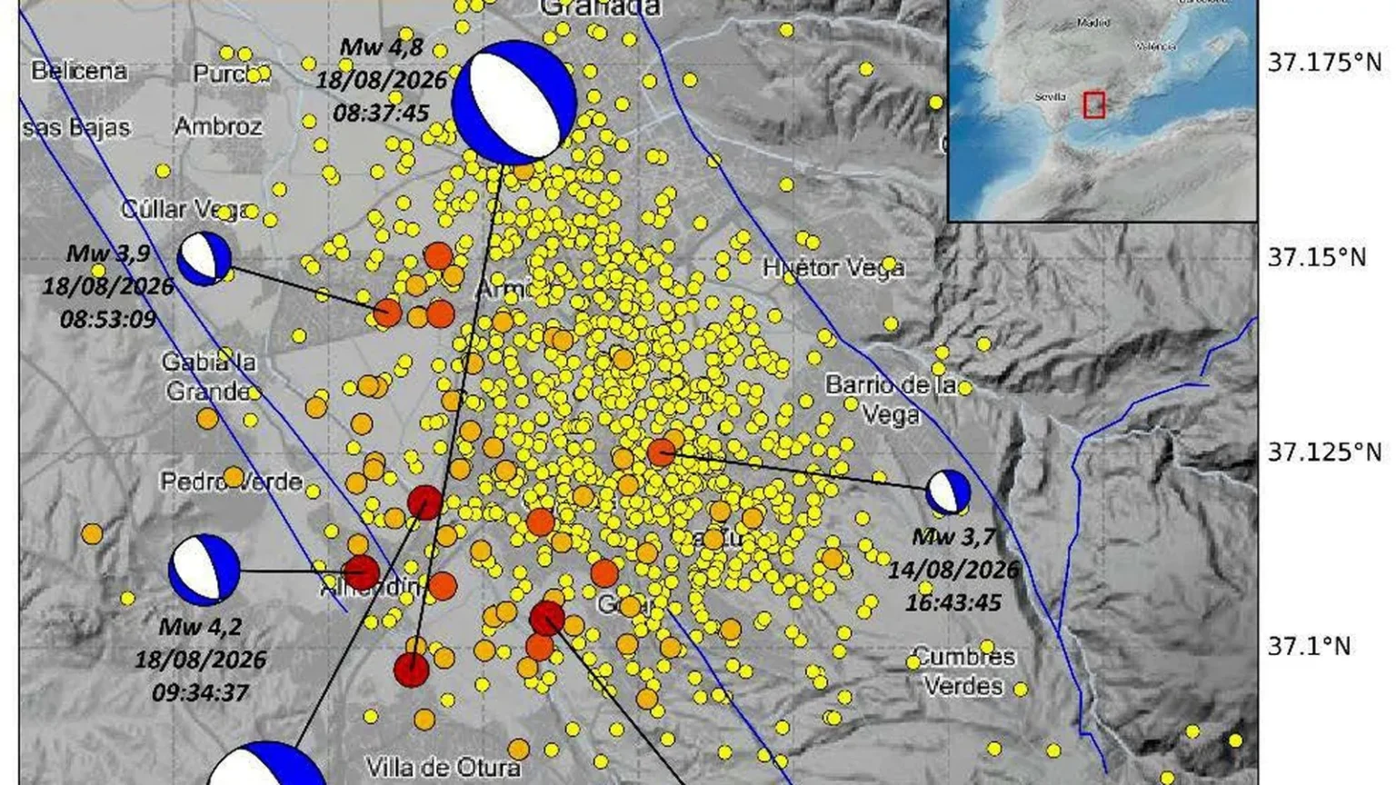
The National Geographic Institute (IGN) has recorded 1,075 tremors since the sequence began on August 14 around Alhendin, Gojar and La Zubia.
Most have registered below magnitude 2, but 12 have reached or exceeded magnitude 3 and 94 have been felt by the population.
The seismic activity remains ongoing, with several more tremors detected during Tuesday morning and afternoon.
Among them was a magnitude 2.0 earthquake northeast of Gojar at 6.20am, which was felt by residents.
Further tremors measuring 1.5 were detected near Gojar and Armilla, followed by a magnitude 1.6 quake west of Huetor Vega at 8.08am and another measuring 1.8 southeast of Churriana de la Vega at 1.35pm.
Two powerful earthquakes
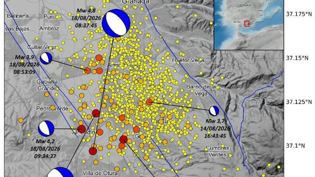
The most significant events in the swarm have been two magnitude 4.8 earthquakes, which struck on August 14 at 11.04pm and August 18 at 8.37am.
Both had epicentres around Alhendín and occurred at very shallow depths.
They reached maximum intensities of V-VI on the European Macroseismic Scale (EMS-98) in parts of Granada province.
The August 18 earthquake was followed by three substantial aftershocks measuring 3.9, 4.2 and 4.0 within around two hours.
A magnitude 3.7 earthquake had also occurred around six hours before the first 4.8 tremor on August 14.
Tremors felt hundreds of kilometres away
The extraordinary sequence has generated a huge public response.
The IGN has received more than 20,450 questionnaires from members of the public through its website and mobile app since the earthquakes began.
The two magnitude 4.8 tremors were felt in more than 500 towns and cities, predominantly across central and eastern Andalucia.
However, reports also came from Murcia, southern Castilla-La Mancha and even the Madrid region.
Some buildings close to the epicentral zone have suffered non-structural damage, while falling objects have also been reported.
Why is Granada experiencing so many earthquakes?
According to the IGN’s analysis, the largest earthquakes have characteristics consistent with normal faults running predominantly northwest to southeast.
These correspond with known active fault systems in the Granada basin.
The epicentral area lies between the Dilar, Granada, Belicena-Alhendin and Santa Fe fault systems.
The Granada basin is located within one of the areas of highest seismic activity and earthquake hazard on the Iberian Peninsula, forming part of the tectonically active eastern Betic region.
Earthquakes here are generally shallow and of low to moderate magnitude, but the region has experienced some of the most destructive earthquakes in Spain’s history.
These include the devastating 1884 Arenas del Rey earthquake, which reached an estimated intensity of IX-X, and the 1431 earthquake south of Granada, which reached VIII-IX.
The current situation bears similarities to the prolonged seismic sequence that affected Santa Fe and Atarfe between December 2020 and August 2021, around 10km northwest of Alhendin.
That swarm eventually produced more than 3,000 earthquakes, including six measuring between magnitude 4 and 5. The largest reached magnitude 4.5.
The IGN has now strengthened its monitoring of the latest swarm by installing two additional portable seismic stations in the epicentral area.
They complement a dense existing monitoring network within roughly 50km of the affected area, including permanent stations near Armilla, Churriana de la Vega and Dílar.
The additional equipment should allow scientists to more precisely determine the location and characteristics of the continuing earthquakes.
Read more Andalucia news at the Spanish Eye.