
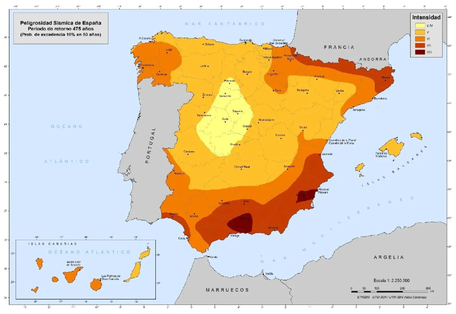

Parts of the Costa del Sol are among the Andalucia towns facing some of the strongest potential earthquake shaking, according to an updated risk map issued by the government.
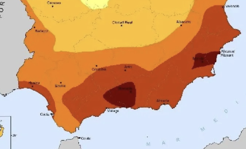
Nerja, Torrox, Frigiliana and Velez-Malaga feature alongside the provincial capital in the official list of areas where seismic intensity VIII or above is considered possible.
The classification appears in new national civil protection guidelines published in the Official State Gazette on October 10.
It is not a warning that an earthquake is imminent. Instead, the document identifies long-term hazards to help authorities prepare for potentially damaging tremors.
Malaga province has 34 municipalities in the intensity VIII-or-above category. Others include Antequera, Archidona, Competa, Colmenar, Casabermeja and numerous Axarquia villages.
Granada has a considerably longer list in this category, including Granada city, Motril, Almuñecar, Salobreña and Loja. Iznajar in Cordoba and Alcala la Real in Jaen also feature.
Further west along the Costa del Sol, Marbella, Estepona, Fuengirola, Mijas, Benalmadena, Torremolinos, Manilva and Benahavis appear in the broader intensity VII-or-above list.
That category also includes San Roque, Jimena de la Frontera and San Martin del Tesorillo, near Gibraltar.
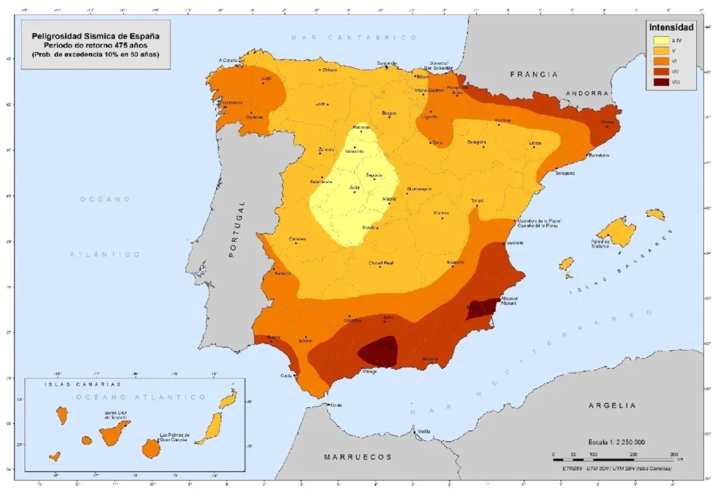
Crucially, the Roman numerals refer to intensity, rather than magnitude. They do not mean that magnitude-seven or magnitude-eight earthquakes are being forecast.
Magnitude measures the energy released by an earthquake. Intensity describes its effects in a particular place, including how strongly people feel the shaking and the damage caused to buildings.
The consequences can vary considerably depending on construction quality, local ground conditions and distance from the earthquake.
Older and more vulnerable buildings can suffer greater damage.
The map uses a statistical return period of 475 years, equivalent to a 10% chance of the assessed shaking level being exceeded within 50 years.
This does not mean earthquakes happen every 475 years, or that an area is ‘due’ one.
The updated framework replaces guidelines dating from 1995. Listed municipalities must be covered by local emergency planning, including public information, coordination and evacuation arrangements.
For residents, the map’s purpose is preparedness and to help authorities understand where damaging shaking could occur and organise their response before an emergency happens.
Read more Andalucia news at the Spanish Eye.