A spell of ‘blood rain’ is set to hit parts of southern Spain this week as unstable weather combines with a surge of Saharan dust moving across the country.
According to state weather agency Aemet, a shift in atmospheric conditions is driving low pressure systems and cold air at altitude into the west of the peninsula, creating a highly unstable setup.
This pattern is pulling in warm southern winds loaded with Saharan dust, which is already beginning to spread across Andalucia and will extend further into the peninsula and the Balearic Islands over the coming days.
Skies are expected to turn milky, hazy or even orange, particularly across southern and eastern regions, with reduced visibility in some areas.
By Wednesday, dust concentrations will be at their highest across much of southern Spain, including Andalucía, as well as central areas and the Mediterranean coast.
When rain turns to ‘blood rain’
The key feature of this weather event is the overlap between rainfall and airborne dust.
When showers pass through dust-laden sky, they drag particles down to the ground, creating the phenomenon known as ‘blood rain’, which leaves muddy deposits on cars, buildings and streets.
Light showers may begin as early as Tuesday in western and central Spain, but Wednesday is expected to bring the most widespread muddy rain, particularly across Andalucia, Extremadura and parts of Castilla-La Mancha.
How long will it last?
The dusty conditions are expected to linger until at least Thursday, when clearer air should begin to return across most regions.
However, forecasts suggest that more dust could return to the Mediterranean by Friday, meaning further hazy conditions cannot be ruled out.
Weather alerts
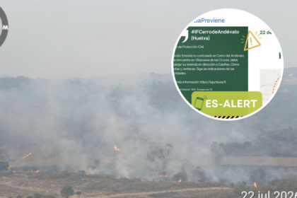
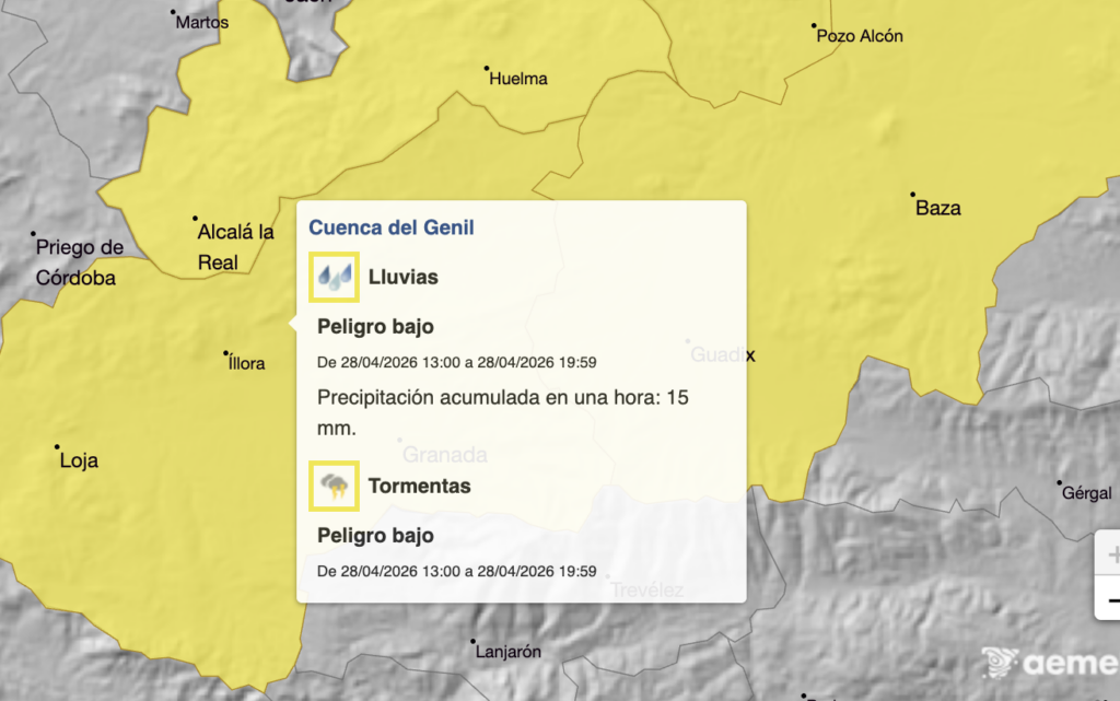
It comes as a series of alerts have been issued for heavy rain in Andalucia on Tuesday.
The yellow-level warnings cover inland areas of Granada and Jaen between 1pm and 8pm.
Aemet predicts up to 15mm of rainfall per square metre and heavy thunder.
Read more Andalucia news at the Spanish Eye.