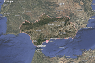

Heavy rain and thunderstorms are set to sweep parts of southern Spain this weekend as a DANA brings an abrupt change in the weather.
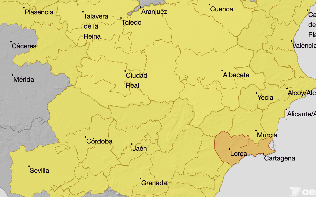
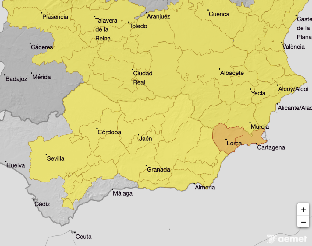
Aemet has issued an orange rainfall warning for parts of Murcia on Saturday, October 17, while yellow alerts cover large swathes of Andalucia.
The orange warning affects Cartagena, the Guadalentin Valley, Lorca and Aguilas from 8am until 11.59pm on Saturday, with rainfall potentially reaching 30 litres per square metre in an hour.
The same area is under a yellow thunderstorm warning, with possible hail.
In Andalucia, the warnings shown on Aemet’s map run from midday until 11.59pm on Saturday, with thunderstorms potentially accompanied by hail.
In Malaga province, Ronda and Antequera face rainfall of up to 20 litres per square metre in an hour. The Costa del Sol is outside the warning area shown for Saturday.
The same hourly rainfall threshold applies to Poniente and Almeria city.
Elsewhere, yellow alerts warn of up to 15 litres per square metre in an hour in the Sevilla countryside, Grazalema in Cadiz, Granada’s Genil basin and coast, and the capital and mountain areas of Jaen and its Guadalquivir Valley.
The unsettled weather could intensify later in the weekend.
According to Aemet’s wider forecast, Sunday and Monday could be the most adverse days, with the Costa del Sol, Murcia’s coastline and parts of the eastern Mediterranean coast and Balearics among the areas at risk of particularly heavy rainfall.
However, the precise location and intensity of the downpours remain uncertain and will depend on the DANA’s position.
A DANA is a pocket of cold air isolated high in the atmosphere. Combined with moist Mediterranean air, it can trigger intense and persistent downpours.
Temperatures are also expected to fall as the system develops. Residents should monitor updated warnings and avoid driving through flooded roads or dry riverbeds during heavy rain.
Read more Andalucia news at the Spanish Eye.