
Spain is preparing sweeping new restrictions on construction in flood-prone areas that could ban new homes, underground car parks and basements in some of the areas deemed most vulnerable.
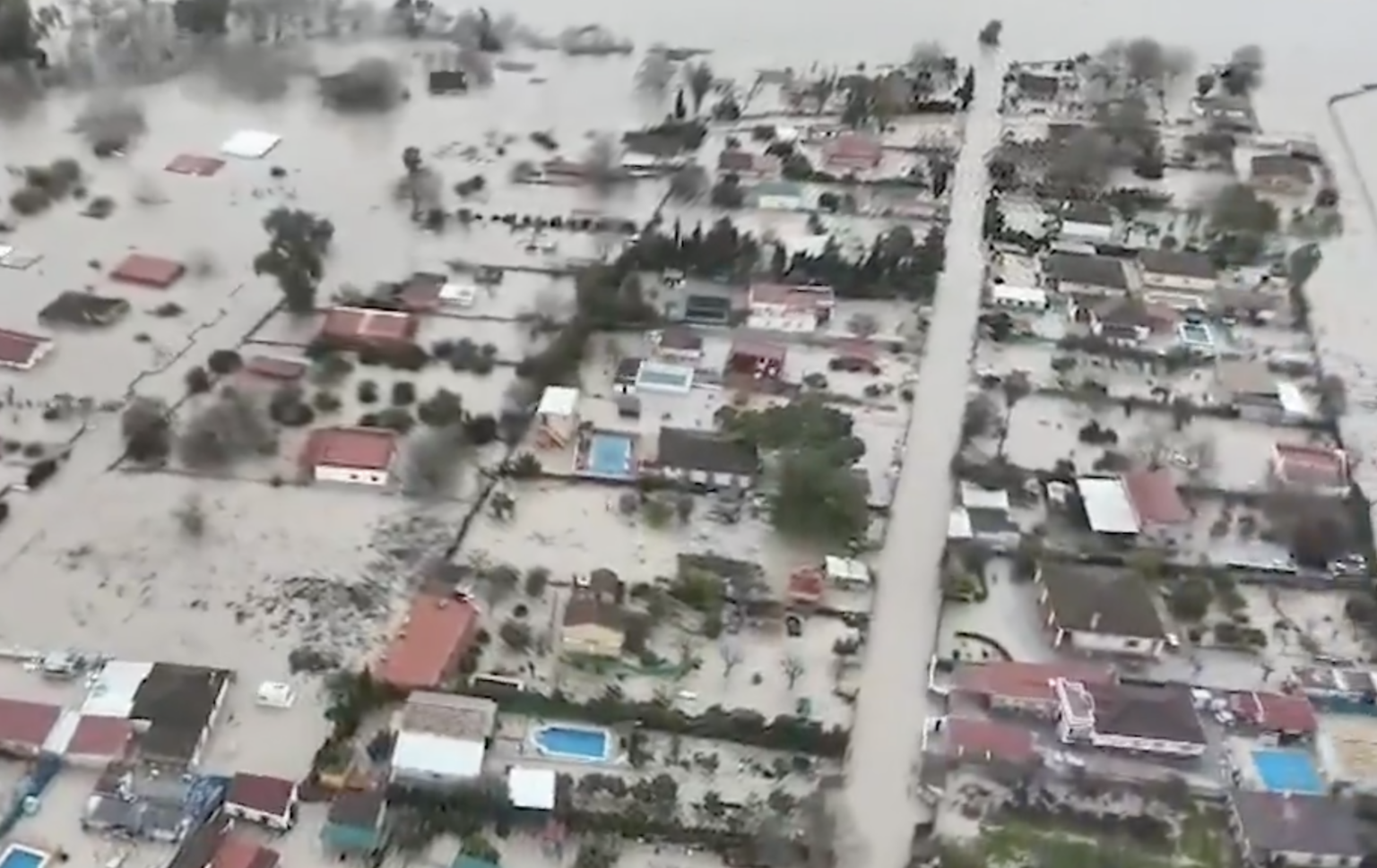
The draft Royal Decree on flood-risk management represents a significant tightening of Spain’s planning rules following the catastrophic Valencia DANA of October 2024.
The proposal would make flood-risk mapping a much more important factor in deciding where development can take place and require local authorities to incorporate the restrictions into their urban planning.
The Ministry for Ecological Transition (MITECO) says the objective is to prevent further growth in the number of people, homes and infrastructure exposed to flooding as extreme weather events intensify.
However, property developers have warned that the proposals could block housing projects and redevelopment on land that already has planning status and infrastructure.
Where would new homes be banned?
One of the most significant changes concerns Spain’s so-called zonas de flujo preferente, or preferential flow zones.
These are particularly hazardous areas where floodwater can become concentrated or where modelling indicates flooding can pose a serious threat to people and property.
Under the draft rules, new residential uses would be prohibited in preferential flow zones on urbanised land.
MITECO’s own summary confirms that the proposal would prevent new residential uses, garages, basements and other below-ground installations in these areas.
This marks a significant change from the existing framework, under which residential construction can be permitted in some flood-risk areas provided stringent safety requirements are satisfied.
Current rules can, for example, permit underground garages and basements in certain areas if they are designed to remain watertight during the relevant flood scenario and meet additional structural and evacuation requirements.
The draft decree would therefore substantially reduce the scope for using engineering measures to make some developments acceptable.
Developers’ warning
The Association of Property Developers of Madrid, ASPRIMA, has come out strongly against aspects of the proposal.
It argues that the decree gives too much regulatory weight to flood maps and could create uncertainty over land which already has approved planning.
According to the association, the potential consequences extend beyond completely new developments.
ASPRIMA argues that, depending on how the final legislation is interpreted, it could interfere with renovations, replacement of existing buildings and conversions to residential use, including projects which developers contend could actually reduce the existing flood risk.
The organisation also fears projects where licences have already been requested, urbanisation works have begun or land readjustment schemes have been approved could become caught by the new framework.
Another contentious element is the proposed restriction on underground construction.
ASPRIMA argues that banning basements and underground garages could conflict with municipal planning rules which themselves require developers to provide parking spaces.
Its director general, Jorge Gines, says developers could therefore find themselves facing two incompatible requirements.
The organisation has also criticised proposals requiring residential areas of buildings to be elevated above the relevant flood level.
It argues that raising residential floors could affect maximum building heights, accessibility and the number of floors that can ultimately be constructed, potentially reducing the viability of some housing schemes.
MITECO, however, says tougher controls are necessary to stop Spain continuing to increase development in places where people and property face significant flood danger.
According to documentation accompanying the proposal, around 33,000 hectares of developed land uses are already located within the affected risk areas, including more than 3,600 hectares devoted to residential use.
The government’s objective is for flood exposure to be considered from the beginning of the planning process rather than becoming an issue only when an individual development reaches the licensing stage.
Flood maps contained in the National Flood Zone Mapping System are already used by river-basin authorities, planners, developers and members of the public to identify areas exposed to flooding.
The draft would further integrate this mapping into territorial and urban planning.
The measures are not yet law. The proposal went through its public consultation period from July 16 to September 16 and remains a draft Royal Decree, meaning its final wording could change before approval.