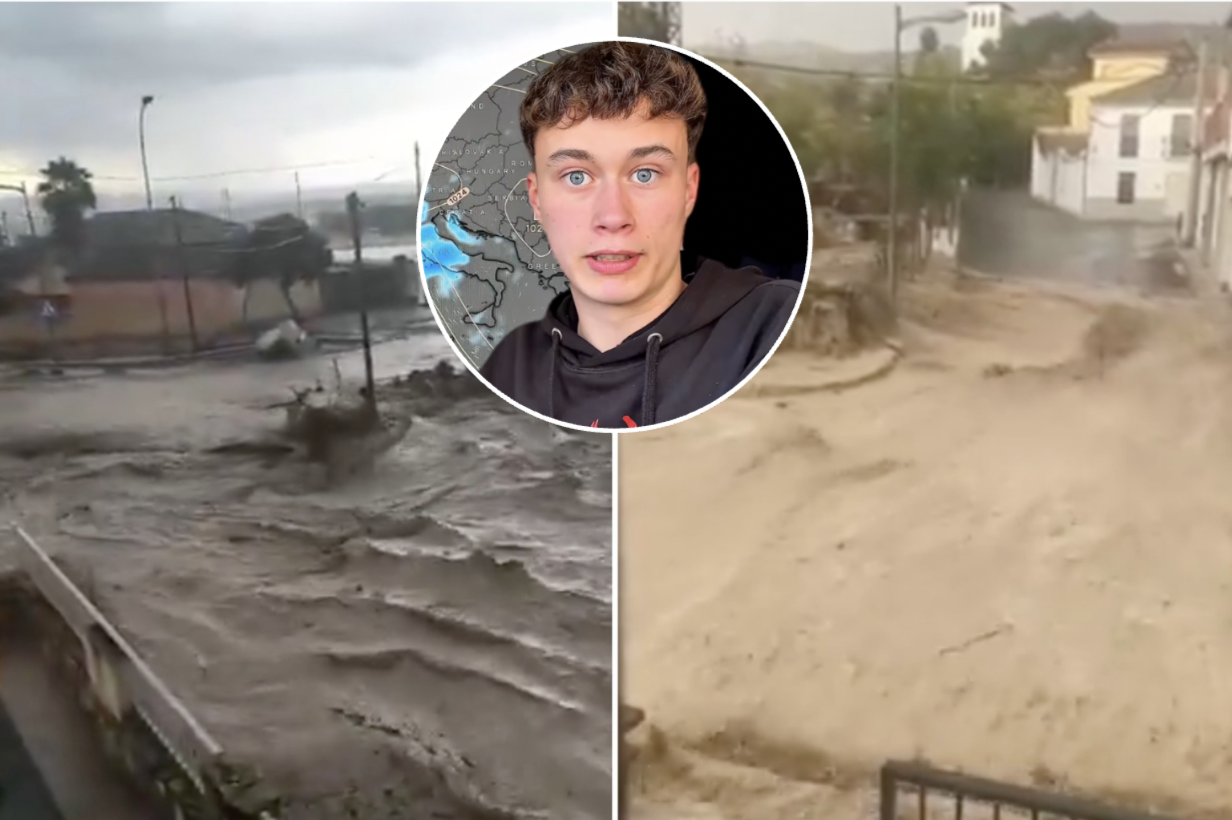

A powerful DANA storm could bring torrential rain and thunderstorms to Andalucia this October, according to controversial long-range forecaster Jorge Rey.
The budding meteorologist, known as the ‘weather boy’, believes an emerging El Niño pattern will shape Spain’s weather this autumn.
Rey combines traditional cabañuelas forecasting techniques with conventional weather models and ‘observations of nature’. He famously predicted the devastating Filomena storms in 2021.
In his latest prediction, he says that warming sea surface temperatures in the Pacific Ocean could trigger an intense El Niño event, increasing the likelihood of a warmer and wetter autumn across Spain.
‘The atmosphere reacts to the warming of the Pacific by altering wind patterns,’ Rey explains, arguing that these global changes will have a knock-on effect on rainfall and pressure systems across Europe.
He also points to the behaviour of migrating cranes, which he says are expected to arrive in Spain later than usual this year, which is something he believes signals a delayed start to winter.
Eclipse cloud warning
In the short term, Rey predicts southern winds will keep temperatures high across much of Spain throughout August.
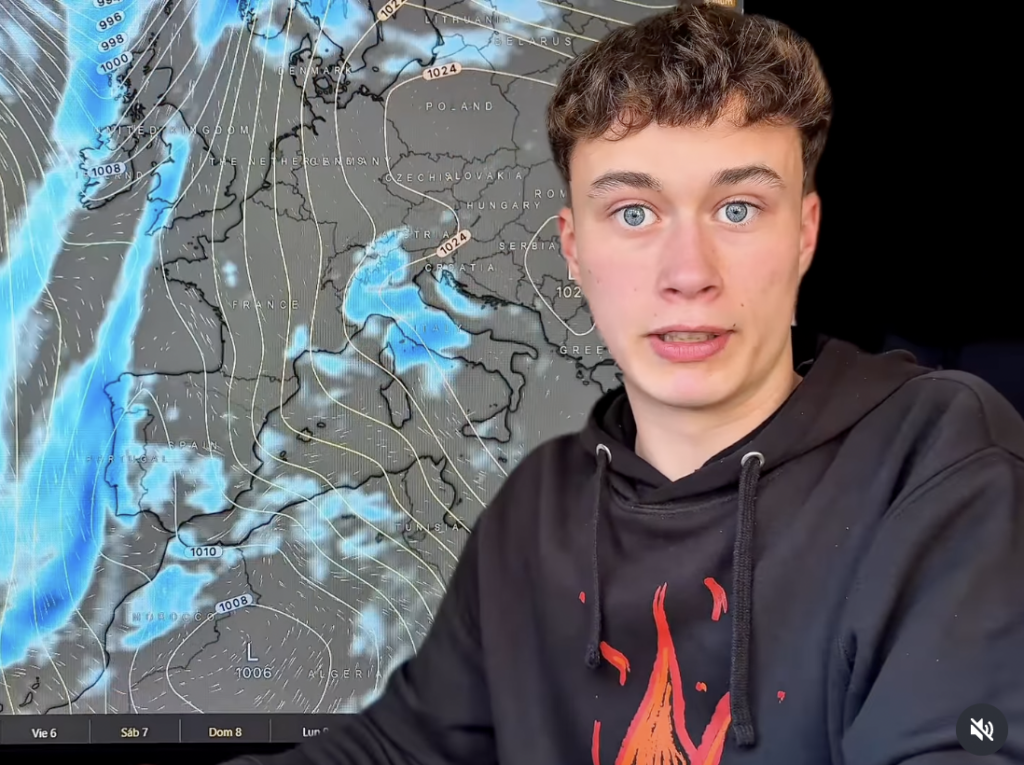
However, around August 11 and 12, when the historic total solar eclipse takes place, he expects a weak weather front to bring cooler air and increased humidity to northern Spain.
He warns that cloud and late-afternoon storm development could prevent people in the Cantabrian region and eastern Spain from getting clear views of the eclipse.
After a cooler spell between August 13 and 18, settled weather and hotter temperatures are expected to return around August 20, before another Atlantic front briefly cools northern Spain on August 23.
Temperatures could also ease slightly across Mediterranean regions around August 25, with settled conditions returning for the final days of the month.
Warm September before autumn storms
Rey expects September to begin with continued warmth across most of Spain.
Northern regions are forecast to remain cooler and cloudier, while calima could push temperatures higher in the Canary Islands.
High pressure should dominate from around September 11, although isolated thunderstorms are possible in western Spain on September 12 and 13.
By September 21, Rey predicts a more unsettled spell, with potentially heavy thunderstorms affecting western parts of the country before temperatures gradually begin to fall during the final week of the month.
DANA forecast for Andalucia
According to Rey, October could bring the most significant weather of the autumn.
He predicts generally mild conditions at the start of the month before thunderstorms begin developing in western Spain from around October 7.
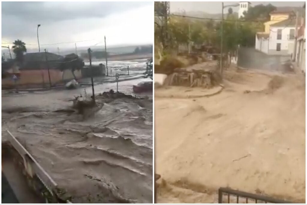
Between October 11 and 17, he forecasts a strong DANA affecting Andalucia, Ceuta, Melilla and the Canary Islands, bringing heavy rain, thunderstorms and cooler temperatures to southern Spain.
He also believes another isolated DANA could develop over the Mediterranean around October 24 and 25, bringing further heavy rainfall to regions including Murcia and the Valencian Community before more settled weather returns later in the month.
Winter may arrive later than usual
Looking ahead to November, Rey expects a series of Atlantic weather systems to bring rain to western Spain during the first half of the month.
From around November 14, he predicts colder air will arrive, bringing the season’s first frosts and snowfall to higher ground, while unsettled weather continues across northern Spain and parts of the Mediterranean coast.
What is Cabañuelas and is Jorge Rey reliable?
Cabañuelas are a centuries-old Spanish folk method of long-range weather forecasting based on observing nature, including wind patterns, cloud formations, animal behaviour and other environmental changes.
The tradition is still followed in some rural parts of Spain, although there are several regional variations in how it is interpreted.
Jorge Rey has built a large following by combining cabañuelas with conventional meteorological models and climate indicators such as El Niño.
While some of his forecasts have attracted attention after appearing to anticipate significant weather events, cabañuelas are not recognised as a scientifically validated forecasting method, and Spain’s national weather agency (Aemet) does not use them.
As with any long-range forecast, particularly those looking several months ahead, Rey’s predictions should be viewed as indicative rather than certain until they are supported by official meteorological models.
Read more Andalucia news at the Spanish Eye.