
Storm Charles is heading to Spain and is expected to bring torrential rain, 120km/hr winds and possible tornadoes, weather experts have warned.
The storm is forecast to reach the southwest of the Iberian Peninsula on Wednesday afternoon, with areas around the Gulf of Cadiz to be hit first.
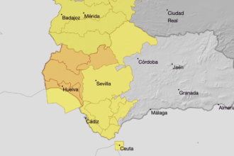
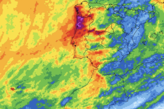
Western Andalucia, Extremadura and Ceuta could see some of the worst conditions, along with central and southern Portugal, according to forecasters at Meteored.
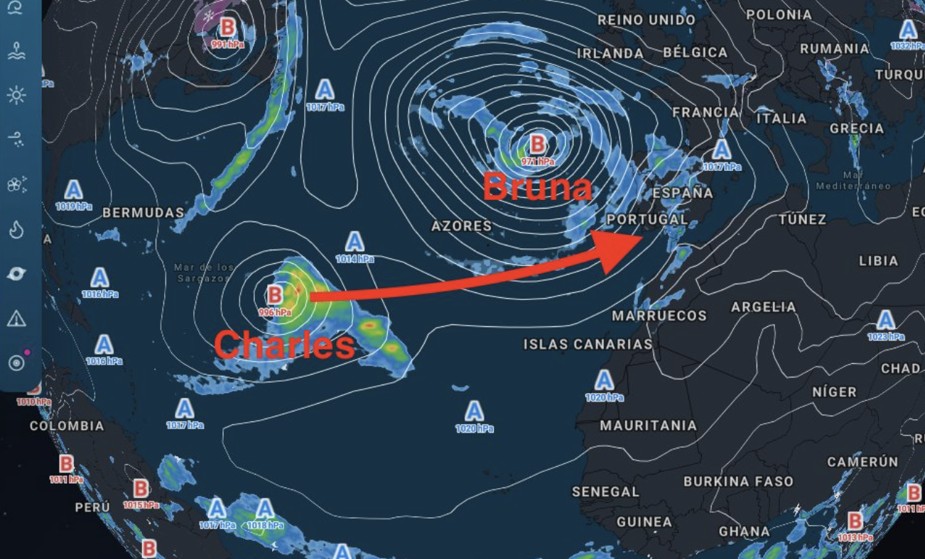
Portugal’s weather agency, the IPMA, named the storm, which formed in the subtropics.
The US National Hurricane Center had been tracking the system in case it developed into a tropical cyclone.
Meteored expects Charles to reach the peninsula as a storm, with forecast models still split over where it will make landfall and how strong it will be.
Canary Islands to feel the effects first
Charles is expected to sweep past Madeira between Tuesday and Wednesday, passing farther from the Canary Islands than early forecasts suggested.
Even so, rain is forecast across the western islands and Gran Canaria, with La Palma likely to see the heaviest falls. Gusts could exceed 120km/hr in exposed parts of the western islands.
It comes after Storm Bruna brought heavy rain and thunderstorms to parts of mainland Spain’s Atlantic side and Gran Canaria, with more than 50mm of rain recorded in some areas.
Gusts could exceed 120km/hr around the Gulf of Cadiz
Forecast models suggest Charles could strengthen rapidly as it approaches the southwest on Wednesday.
The storm is carrying subtropical moisture, which could fuel intense downpours and thunderstorms around its centre.
Meteored says a tornado is possible if that forecast plays out. Gusts of 100 to 120km/hr, potentially higher in some spots, could whip up rough seas along Andalucia’s Atlantic coast.
Charles is then expected to track northeast across the peninsula on Thursday, bringing further bursts of heavy rain and strong winds before weakening as it reaches northern Spain.