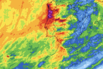

Multiple red weather alerts have been issued in western Spain as Storm Bruna sweeps through the country.
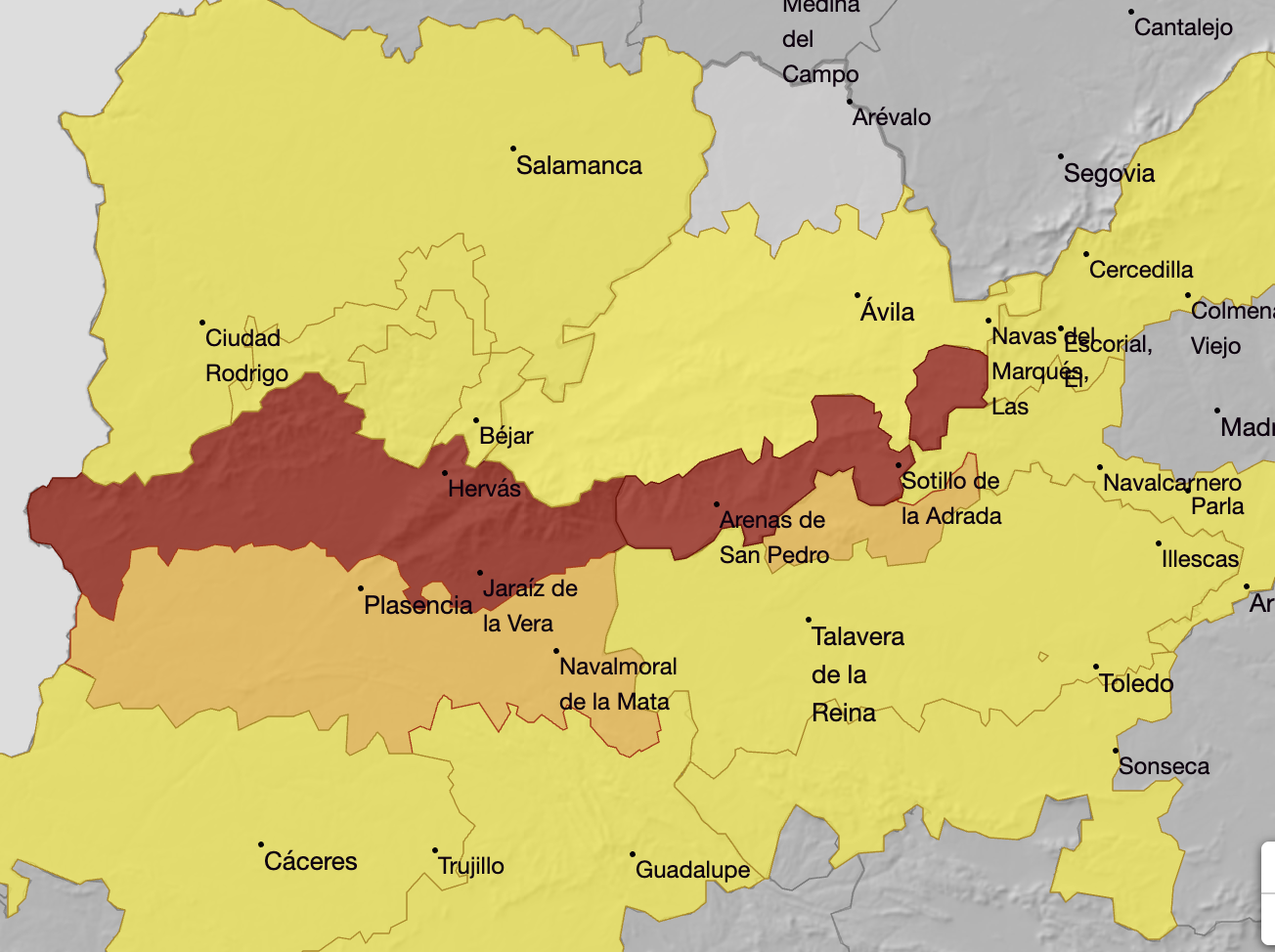
State weather agency Aemet has issued its highest-level warning for northern Caceres and southern Avila on Tuesday, with 120mm of rain possible in just 12 hours.
The red alerts run from 9am until midnight in both areas. Separate orange warnings cover downpours of 30mm in a single hour over the same period.
Heavy rain is expected well before the red alerts begin. Both areas are under orange warnings from midnight to 9am on Tuesday for 100mm of rain in 12 hours, continuing from Monday.
In southern Avila, Aemet says rainfall could reach 200 to 300mm over 72 hours.
How Storm Bruna is affecting Andalucia
The Junta de Andalucia activated the pre-emergency phase of its flood plan on Sunday amid fears of local flooding and sudden rises in rivers and streams.
On Monday, Aemet issued orange rain warnings for Aracena and the Sierra Norte of Sevilla, where 80mm could fall in 12 hours.
Separate orange warnings covered Aracena, Andevalo and Condado (Huelva), and the Huelva coast until noon, with 30mm possible in a single hour.
Sevilla city was under a yellow warning for rain and thunderstorms.
Yellow warnings also covered parts of Cadiz, inland Malaga and northern Cordoba on Monday.
Aemet warned of 60mm in 12 hours in Grazalema and Ronda, and 40mm in 12 hours in the Sierra y Pedroches area of Cordoba.
The storm is expected to affect Andalucia until at least Wednesday, with some western areas potentially receiving between 100mm and 200mm over the course of the storm.
Tuesday’s forecast includes gusts of 70 to 90km/hr in parts of western Andalucia and around the Strait of Gibraltar, with waves approaching four metres along the region’s western coast.
Read more Andalucia news at the Spanish Eye.