
Storm Bruna is expected to bring rain, strong winds and rough seas to parts of Spain from Saturday, meteorologists have warned.
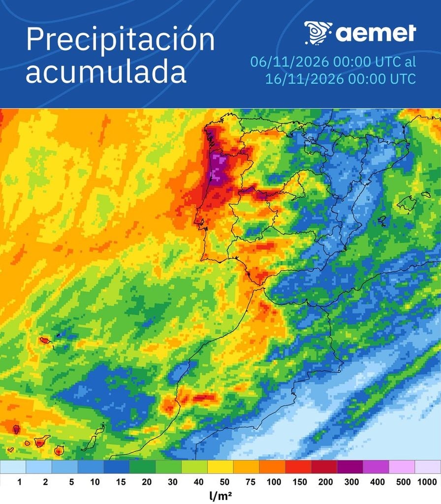
According to state weather agency Aemet, the storm will affect Atlantic-facing areas, Andalucia, the north, central parts of the mainland and the Canary Islands.
Meteorologists are watching a possible Fujiwhara effect, in which nearby low-pressure systems influence one another’s movements and can begin rotating around a shared centre.
‘It is not a new phenomenon, but it is very curious,’ meteorologist Samuel Biener explained to Cadena Ser, adding that it can make forecasts more difficult because conditions become more variable.
Rather than colliding, the systems’ circulating air flows interact. Depending on their relative strength, they may continue moving around one another or a larger storm may absorb a smaller one.
In Bruna’s case, a deep low-pressure system is developing west of the Azores, surrounded by other centres of low pressure.
Some forecast simulations suggest as many as three centres could interact, altering their respective tracks before potentially reorganising around one dominant storm over the weekend.
The phenomenon takes its name from Japanese meteorologist Sakuhei Fujiwhara, who published research on interactions between rotating systems in 1921.
The location and intensity of rainfall, wind and coastal conditions will depend on where the low-pressure centres and their associated fronts eventually move.
Where is the rain forecast?
Western Andalucia is expected to bear the brunt of Bruna, with Sevilla facing several consecutive days of rain from Sunday.
Aemet’s forecast for the city shows rain continuing through Thursday November 12, following a largely dry Saturday.
Across the wider region, successive Atlantic fronts are expected to bring the main spell of unsettled weather from Sunday afternoon until at least Wednesday.
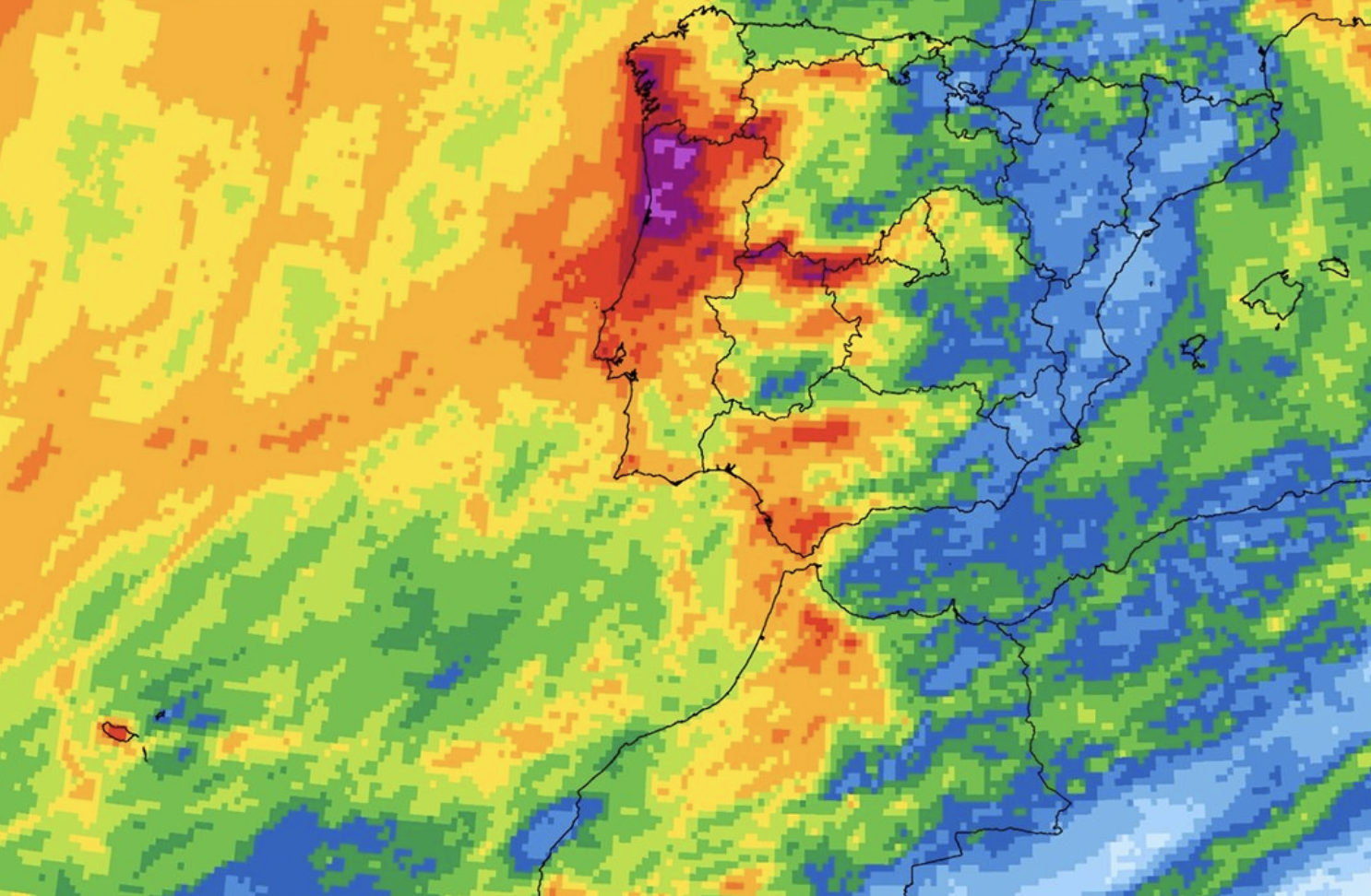
Huelva, Sevilla, Cadiz and Cordoba look set to receive the most significant rainfall. Meteored’s latest forecast suggests some areas around Sevilla and western Cordoba could collect between 70 and 100mm during the episode, with totals exceeding 100mm in parts of the Sierra de Cadiz and northern Cordoba.
What about the Costa del Sol?
The Mediterranean side of Andalucia is expected to see more scattered and occasional rainfall.
Aemet expects the rain to begin easing from Thursday, although further heavy showers remain possible. Waves approaching four metres are also forecast along the western Andalucian coast.
The Costa del Sol will also see a change, with rain expected to reach Marbella and much of the coast later on Sunday before becoming more widespread on Monday.
Aemet currently forecasts rain on successive days through Thursday in both Marbella and Malaga, although the timing and intensity remain subject to change.
Read more Andalucia news at the Spanish Eye.