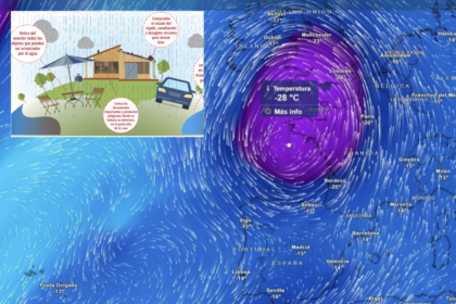
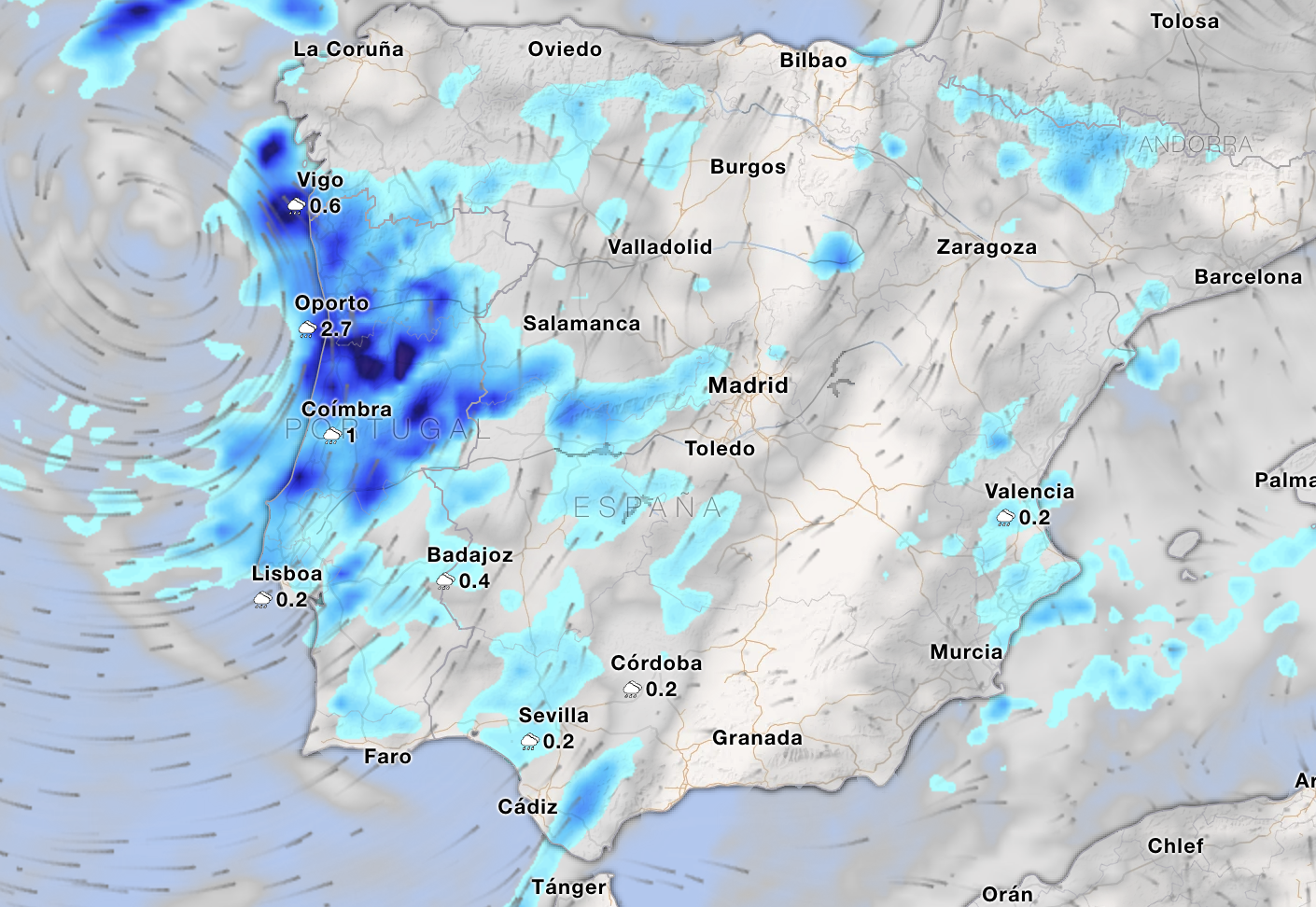

A deep Atlantic low is heading towards Andalucia, bringing rain, stronger winds and falling temperatures from Monday.
According to state weather agency Aemet, the most noticeable change will arrive on Monday, August 24, when cloud will build and rain will spread into western parts of the region.
The wettest conditions are expected across Huelva, Cadiz, Sevilla and Cordoba provinces, where light to moderate rainfall is forecast.
There is also a possibility of thunderstorms developing over mountainous areas further east.
However, apart from some clouds, the Costa del Sol will remain dry and warm, although highs are not expected to exceed 28C.
It marks another abrupt change during an unusually unsettled August, following the storms that brought significant rainfall to parts of Andalucia on Thursday.
Temperatures to tumble inland
The arrival of the Atlantic system will also provide some relief from the summer heat.
Aemet expects maximum temperatures to fall across inland Andalucia on Monday, although the picture will be different along the coast.
Temperatures are forecast to rise along the Mediterranean coastline while remaining broadly unchanged on the Atlantic coast.
Winds will initially be light and variable before strengthening to moderate south-westerlies during Monday morning, easing again towards the end of the day.
Thunderstorms possible on Sunday
The first signs of the changing weather could appear before the main system arrives.
Most of Sunday, August 23, will remain dry and sunny, with predominantly clear or lightly cloudy skies.
Some low cloud is expected along coastal areas during the morning.
However, clouds are forecast to build over the mountains of eastern inland Andalucia during the afternoon, where Aemet says isolated showers and thunderstorms cannot be ruled out.
Temperatures will also begin falling across the western third of the region, while remaining largely unchanged elsewhere.
Brief spell of unsettled weather
The change is not expected to last particularly long.
By Tuesday, August 25, cloudy skies and low cloud are forecast across Andalucia’s Atlantic-facing areas, where occasional light rain or drizzle will remain possible.
Conditions should begin improving from around midday, with skies becoming mostly clear or sunny.
Elsewhere in Andalucia, sunshine is expected to dominate for much of Tuesday.
Maximum temperatures are also forecast to rise again across much of the region, while overnight minimums will fall in many areas.
The result will be a brief but noticeable interruption to Andalucia’s late-August weather, with Monday bringing the greatest chance of widespread rain – particularly in the west – before more settled conditions begin to return.
Read more Andalucia news at the Spanish Eye.