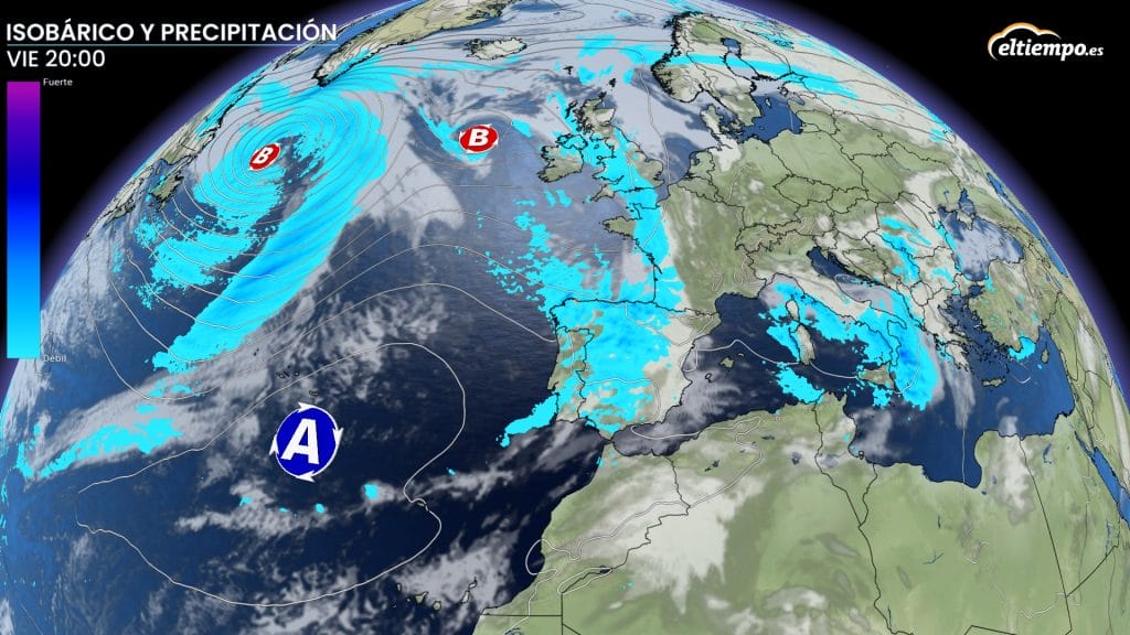

Storm Claudia will enter Spain on Tuesday night, ushering in several days of rain and strong winds for much of the country.
State weather agency Aemet has confirmed that the ‘high-impact Atlantic depression’ will sweep across the country this week, including Andalucia.
According to spokesman Ruben del Campo, the storm will reach the Iberian Peninsula late Tuesday, moving in from Galicia, before hitting the Canary Islands on Wednesday and Andalucia from Thursday onwards.
Its effects are expected to intensify on Friday, with unsettled weather lasting at least four days.
How storm Claudia will hit Andalucia
The storm fronts will arrive from the west, entering the region through Huelva on Thursday.
On Thursday, light rain is expected in western Andalucia during the morning, spreading to Huelva, Sevilla and Cadiz later in the day.
On Friday, heavy rain and storms are expected across the entire region, especially in western provinces, where downpours could be strong and persistent – this includes Malaga and the Costa del Sol.
Winds from the south will be moderate to strong, with the possibility of very strong gusts in the western third of the region.
On Saturday, there will be continued instability, with cloudy skies, intermittent rain and occasional clear spells.
By Sunday, another band of rain associated with Claudia will cover most of Andalucia, although Aemet warns that the forecast could still evolve.
At present, no official weather warnings have been issued, but Aemet says alerts may be activated as the storm progresses.
From summer highs to autumn chill
Temperatures will swing sharply this week. After unseasonably warm midweek highs – reaching 29C in Granada, 28C in Sevilla, and 27C in Jaen, Cordoba and Almeria – the arrival of Claudia will bring a notable drop.
By the weekend, daytime highs will settle around 21–22C, with milder nights of around 15C, marking the return of true autumn conditions across the south.
Read more Andalucia news at the Spanish Eye.