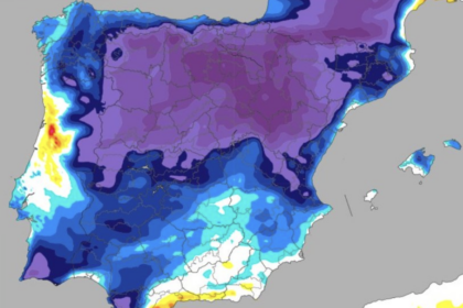
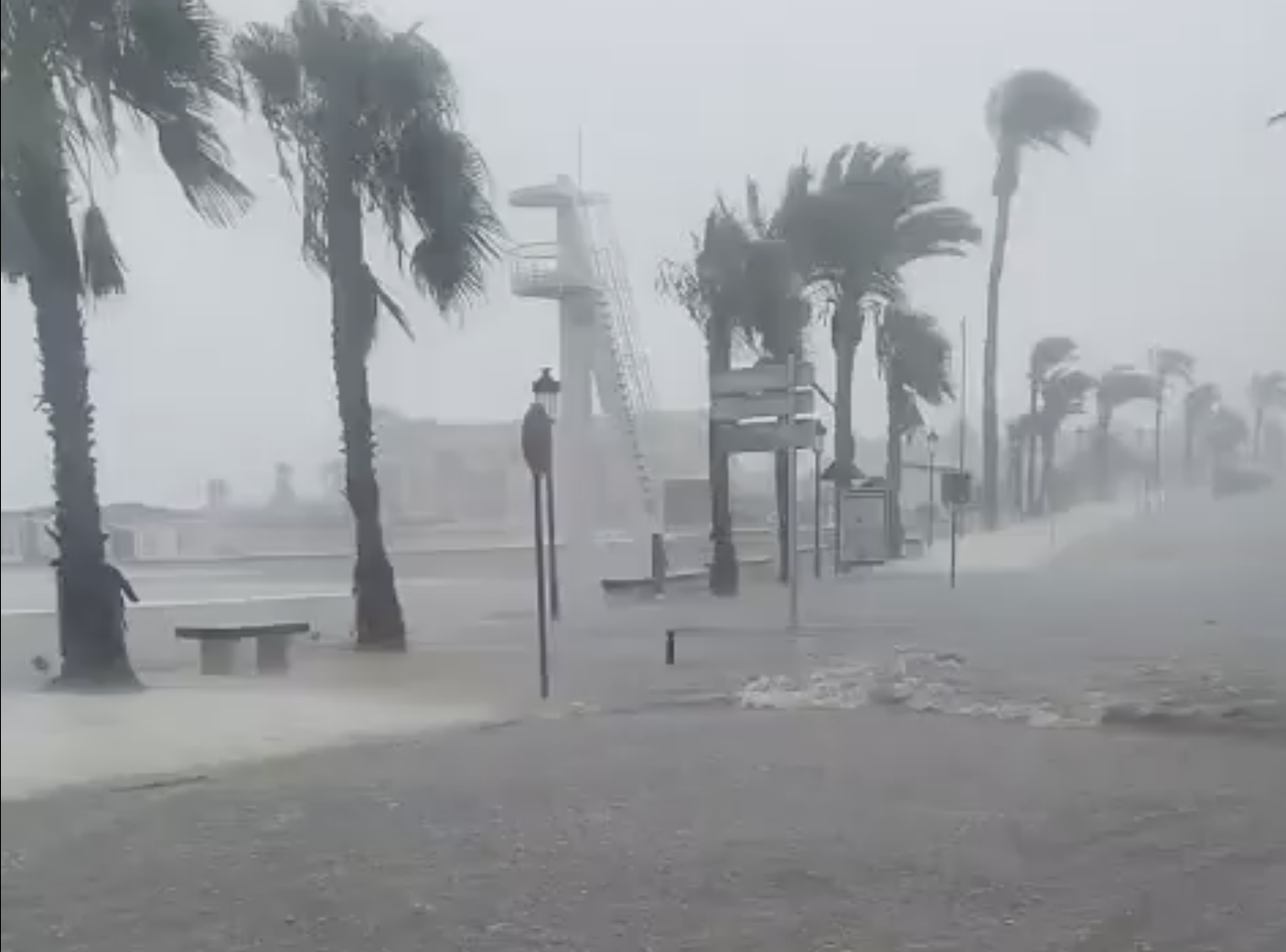

Torrential rain and thunderstorms battered parts of the southern Costa Blanca on Saturday morning, causing dramatic localised flooding around Torrevieja and Orihuela Costa.
The storm swept southwards along the Vega Baja coastline, dumping more than 20 litres per square metre in an hour in some locations while largely sparing inland areas.
The highest verified total was recorded at the Romualdo Ballester primary school in Los Altos, where 48.2mm of rain fell.
Torrevieja and its surrounding urbanisations were among the areas worst affected.
A total of 31mm was measured at Torrevieja University Hospital, while Los Balcones recorded 30.2mm.
Other readings included 24mm at Puerto Marina de Salinas, 23.4mm at Salinas de Torrevieja-Isla, 21.8mm at IES Torrevieja in Torretas and 20.6mm at the Acequion primary school.
The storms were accompanied by frequent lightning as they moved down the coast.
In Orihuela Costa, familiar flooding problems returned at vulnerable locations, including the underpass at Playa Flamenca near the town hall.
Unverified figures cited by Meteoclimatic suggested that as much as 70mm may have fallen in some parts of Orihuela Costa.
Further south, Pinar de Campoverde in Pilar de la Horadada recorded 20.4mm, while the station at Dehesa de Campoamor registered 9.8mm.
The highly localised nature of the storm produced stark differences over relatively short distances.
While almost 50mm fell in Los Altos, just 2.2mm was recorded in the San Luis urbanisation of Torrevieja and only 0.3mm in Ciudad Quesada.
San Fulgencio, Guardamar and La Mata also received little or no significant rainfall.
Further showers remain possible across the south of Alicante province over the coming hours, although they are again expected to be highly localised.