
‘Hyper local’ downpours caused chaotic scenes in certain parts of Malaga province on Friday.
State weather agency Aemet is maintaining its yellow alerts across the Costa del Sol and Guadalhorce Valley for both Friday and Saturday due to ongoing heavy rainfall and rough seas.
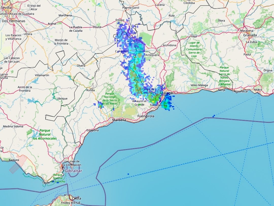
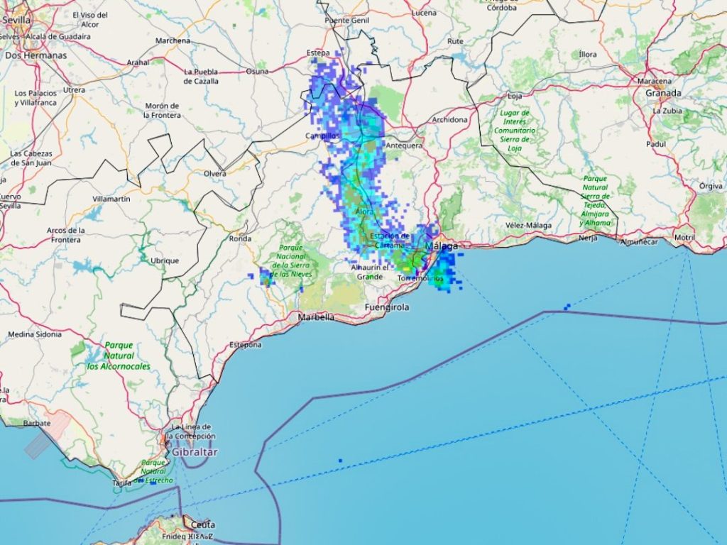
However, the episodes are proving very uneven, with intense rain blasting very specific areas, while others remain mostly dry.
In the early hours of Friday, Cartama and the Lower Guadalhorce valley witnessed sudden downpours which caused localised flooding.
Some private rain gauges recorded figures of up to 125 litres per square metre in just a few hours. While unofficial readings should always be treated cautiously, their credibility is strengthened by multiple similar reports and meteorological maps showing rainfall concentrated along a narrow strip.
Flooding was reported in El Sexmo and Cartama Estacion, particularly near the Prolongo tunnel, where cars were pictured submerged in flood water.
There were also large pools of standing water on stretches of the Coin road between Alhaurin de la Torre and Churriana.
Data from official Aemet stations underline just how patchy the rainfall has been. At Malaga Airport, nearly 40 litres per square metre fell overnight, while the Port of Malaga barely registered one litre. In Teatinos, close to Aemet’s own facilities, 32 litres were measured.
The same contrast appeared inland. The Casasola reservoir, on the Campanillas river, collected around 20 litres, while El Limonero reservoir saw almost no rainfall at all.
Meteorologist Jose Luis Escudero, who runs the weather blog Tormentas y Rayos, explained that the phenomenon was caused by convective cloud formations, where warm, moist air rises rapidly, producing heavy rain over very limited areas.
Local weather observers, including the Storm Málaga social media account, shared images showing rainfall confined to a thin corridor, backing up accounts from residents who experienced torrential rain just kilometres away from dry streets.
Looking ahead, unsettled conditions are expected to continue. Aemet forecasts suggest the isolated high-altitude depression responsible for the current instability will affect Andalucia through Sunday and Monday, with the possibility of another system arriving by Tuesday.