
Snow, rain and a bitter wind are blowing into Spain this weekend thanks to a mass of polar air from the north.
The arrival of colder air is expected to intensify showers, lower temperatures and bring snow to relatively low altitudes, while coastal areas face strong gusts and heavy swells, particularly along the Mediterranean and in the Balearics.
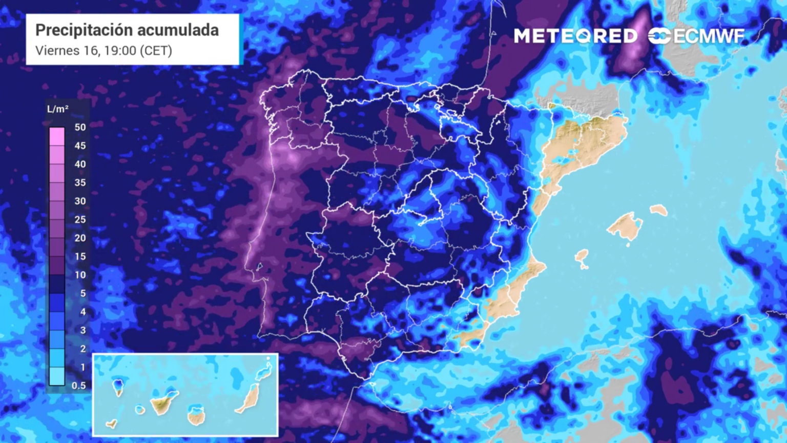
State weather agency Aemet has activated weather warnings in several parts of the country, reflecting the impact of the advancing cold front.
Outlook for Andalucia
Andalucía is set for a cooler and unsettled Saturday, with variable cloud cover and occasional light rain across much of the region.
Showers will be less likely in western areas, while heavier rainfall is expected during the afternoon in eastern inland zones.
The snow level is forecast to sit between 1,000 and 1,300 metres, affecting higher mountain areas.
Light to moderate frost is expected in parts of eastern inland Andalucía, particularly overnight and in the early morning.
Temperatures will see a general drop across the region, reinforcing the wintry feel.
Along the Mediterranean coast, moderate westerly winds are expected, with strong gusts at times, which may affect coastal conditions.
Andalucía is expected to see a wetter and more unstable Sunday, with rain affecting much of the southern third of the region.
Rainfall will be heaviest in the area of the Strait of Gibraltar, where it could be locally heavy and persistent, and may also be accompanied by thunderstorms.
The snow level is forecast to drop to between 900 and 1,000 metres, bringing snowfall to higher inland areas – including in inland Almeria.
Light to moderate frost is expected in eastern inland Andalucía and in mountain areas across the rest of the region, particularly overnight and early morning.
Minimum temperatures will fall across the region. Maximum temperatures may rise slightly on the Atlantic side, while they are expected to fall along the Mediterranean coast.
Snow warnings inland and in mountain areas
In the Madrid mountains, the snow level could drop to around 900 metres at the start of the weekend, with several centimetres of accumulation possible. Drivers are being advised to take precautions on mountain roads, including carrying snow chains and warm clothing.
Across parts of Castilla y León, yellow warnings have been issued for snowfall on Friday and Saturday, with snow expected between 800 and 1,200 metres, potentially affecting traffic and outdoor activities.
Coastal impact and heavy rain in the Mediterranean
The unsettled weather will not be limited to inland areas. Coastal regions are expected to see rough seas and significant wave height, particularly in Galicia and the Strait of Gibraltar, accompanied by strong winds that will reinforce the cold feel of the weekend.
In the Mediterranean and eastern Spain, rainfall could be persistent and occasionally intense, especially on Saturday. There is a risk of localised flooding in areas where the ground is already saturated.
In cities such as Barcelona, forecasts point to overcast skies and prolonged rain, particularly during Saturday morning and afternoon.