
After weeks of downpours, wild winds and weather warnings, Spain can finally catch its breath.
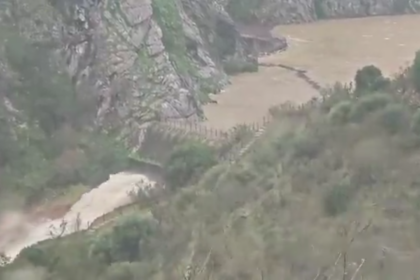
Storm Oriana, which battered large parts of the country on Friday and Saturday, has now moved away to the east.
The heavy rain, fierce gusts and plunging snow levels that triggered alerts nationwide are easing, and Sunday marks a clear turning point.
Forecasters at ElTiempo.es say the worst is now over.
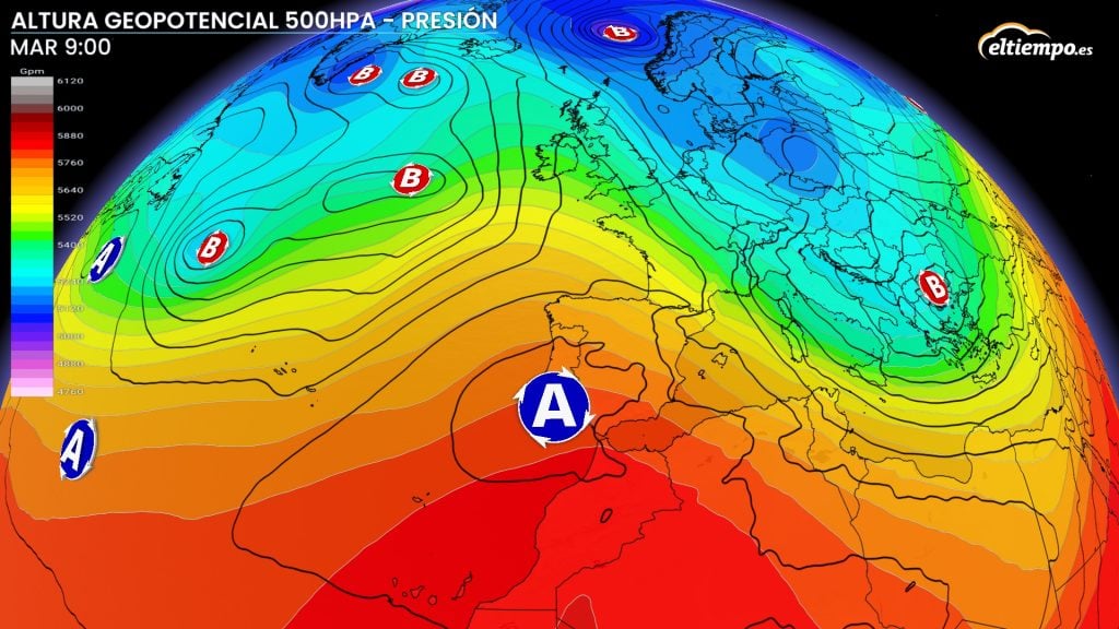
As Oriana tracks towards Italy, high pressure is building over mainland Spain. The result is clearer skies and a return to calmer conditions.
Sunday has dawned cold, particularly across the northern half of the country. Clear overnight skies have allowed temperatures to drop sharply, with widespread frost reported in inland areas and mountain regions including Leon, Burgos, Soria and Segovia.
But despite the chilly start, much of Spain is set for a dry and brighter day.

Apart from some cloud in the far north and the chance of light showers in Galicia, most regions will see sunshine.
Daytime temperatures will recover to around 15C across much of the Peninsula, rising to 20C in Andalucia and along the Mediterranean coasts and even edging towards 25C in parts of Murcia and the Valencian Community.
The calmer spell won’t be completely uninterrupted, as a new Atlantic front is expected to brush northern Spain at the start of the week.
However it is not expected to impact Andalucia, although it will bring cloud and rain to Galicia and the Cantabrian coast on Monday, and snow could fall again over the Pyrenees.
This next system is forecast to be far less aggressive than the recent storm train that has soaked the country.
High pressure is set to remain dominant across southern and central Spain, keeping conditions largely stable and dry.
After a turbulent stretch of winter weather, it finally looks like Spain is turning the page, with brighter skies and more settled days ahead.
Read more Andalucia news at the Spanish Eye.