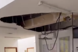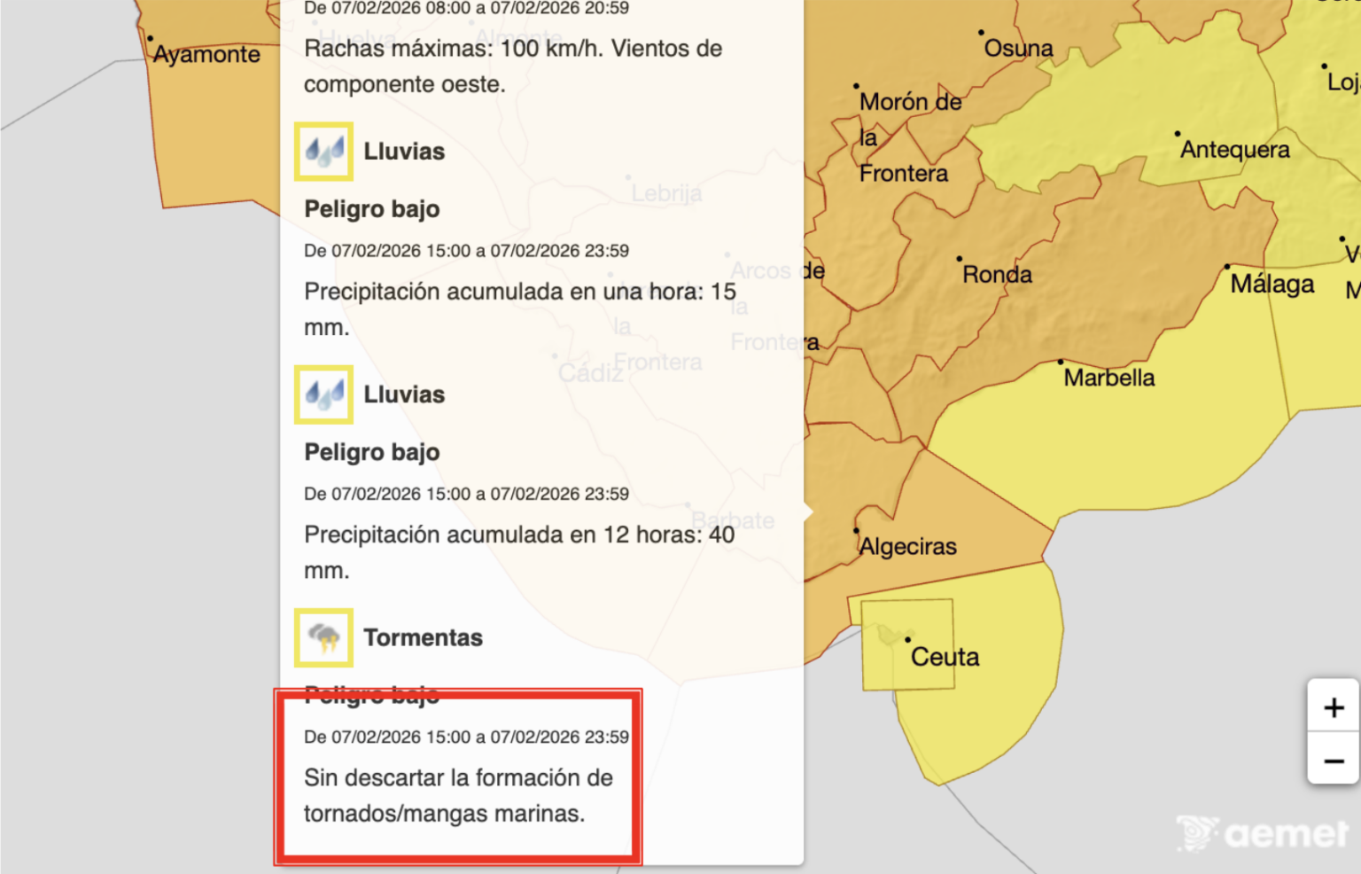

Fresh tornado alerts have been issued for Andalucia on Saturday as Storm Marta looks set to wreak havoc across the region.
According to state weather agency Aemet, the weather phenomenon ‘cannot be ruled out’ across the provinces of Sevilla, Huelva and Cadiz.
The coasts of Huelva and Cadiz may also experience water spouts due to the rough conditions.
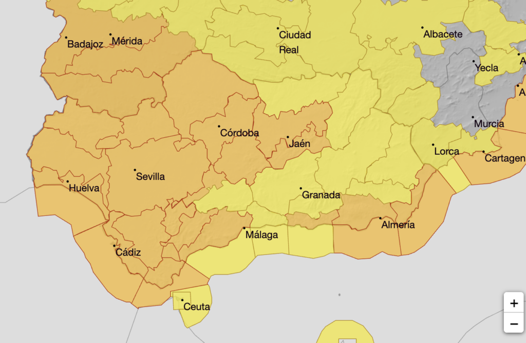
Sevilla, Huelva and Cadiz are all covered by an orange-level warning for strong winds of up to 90km/hr for much of Saturday.
They are also on a yellow alert for heavy rain throughout the day, except for the flood-ravaged municipality of Grazalema.
The Cadiz town, which has already been completely evacuated, is under a more serious orange warning for heavy rain between 10am and 11.59pm – with up to 140mm per square metre expected over the time period.
An orange alert has also been activated for the Serrania de Ronda, where forecasters warn rainfall could reach 80mm per square metre in just 12 hours, with more than 100mm possible over the full period – which runs from noon until 11.59pm.
In addition to intense rainfall, Marta is expected to bring very strong westerly winds. Gusts could reach 90 km/hr in the Serrania de Ronda between 3pm and 9pm.
The same orange warning has been extended to the Costa del Sol and Guadalhorce Valley – upgraded from a previous yellow alert.
However, Aemet says the most severe conditions are likely to affect the western part of the coast, particularly around Marbella and Estepona, rather than the provincial capital itself.
In these coastal areas, wind gusts could also hit 90 km/hr during the afternoon and early evening, while rainfall totals may reach 50mm per square metre in 12 hours.
Read more Andalucia news at the Spanish Eye.