
The conditions are ripe for a ‘significant rainfall event’ in Spain this autumn, weather experts have warned.
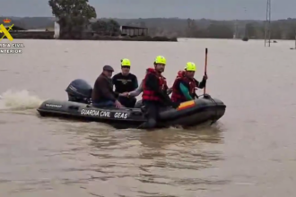
Meteorological autumn began on September 1 and will run until to November 30, with the memory of last October’s devastating DANA in Valencia still fresh.
This season is notorious for producing some of Spain’s most destructive episodes of torrential rain, with cold-drop storms – known locally as gotas frias – often at the centre of the damage.
These episodes, formally known as DANAs (Depresion Aislada en Niveles Altos, or Isolated High-Level Depressions), are a recurring feature in the country’s climate.
Jose Miguel Viñas, a meteorologist with Meteored, explained during a recent press briefing that cold air cut-offs, which can evolve into DANAs, frequently pass over the Iberian Peninsula and the Balearic Islands.
However, only occasionally do they lead to the kind of extreme downpours that trigger flash floods or major inundations.
Historically, Spain’s Mediterranean coast is the area most vulnerable to these weather events.
According to projections from ECMWF – the European weather model used by Meteored – September is expected to bring below-average rainfall across most of the country, with the exception of the northern third.
But from October onwards, the forecast points to increasing instability.
‘An extremely chaotic season’
Climatologist Samuel Biener from Meteored described this period as ‘extremely chaotic’, highlighting the role of the polar jet stream, which tends to meander widely at Spain’s latitude, disrupting weather patterns.
Autumn is also the wettest time of year in much of Spain, particularly along the Mediterranean coast.
The first half of autumn typically sees a higher frequency of DANAs and upper-level troughs.
As winter approaches, these tend to be replaced by frontal rain systems. Experts warn that long-range forecasts for rainfall during this time are notoriously unreliable due to the highly variable nature of the season.
Adding to the risk this year is the unusually warm Mediterranean Sea, with surface temperatures nearing 30C – well above average.
This excess heat fuels more water vapour in the atmosphere, which can intensify storms when combined with upper-level instability.
Could this autumn bring another DANA like Valencia’s?
While Biener doesn’t expect a repeat of last year’s extreme episode – calling it a ‘once-in-years event’ – he did stress that conditions are in place for a significant torrential rainfall event somewhere in the Mediterranean basin in the coming weeks.
He warned that although it may not be as extreme, a similar scenario could easily unfold with ‘serious consequences for people and infrastructure.’
The ingredients are all present – warm sea, high moisture, and seasonal instability. The only missing factor, for now, is a trigger in the upper atmosphere.
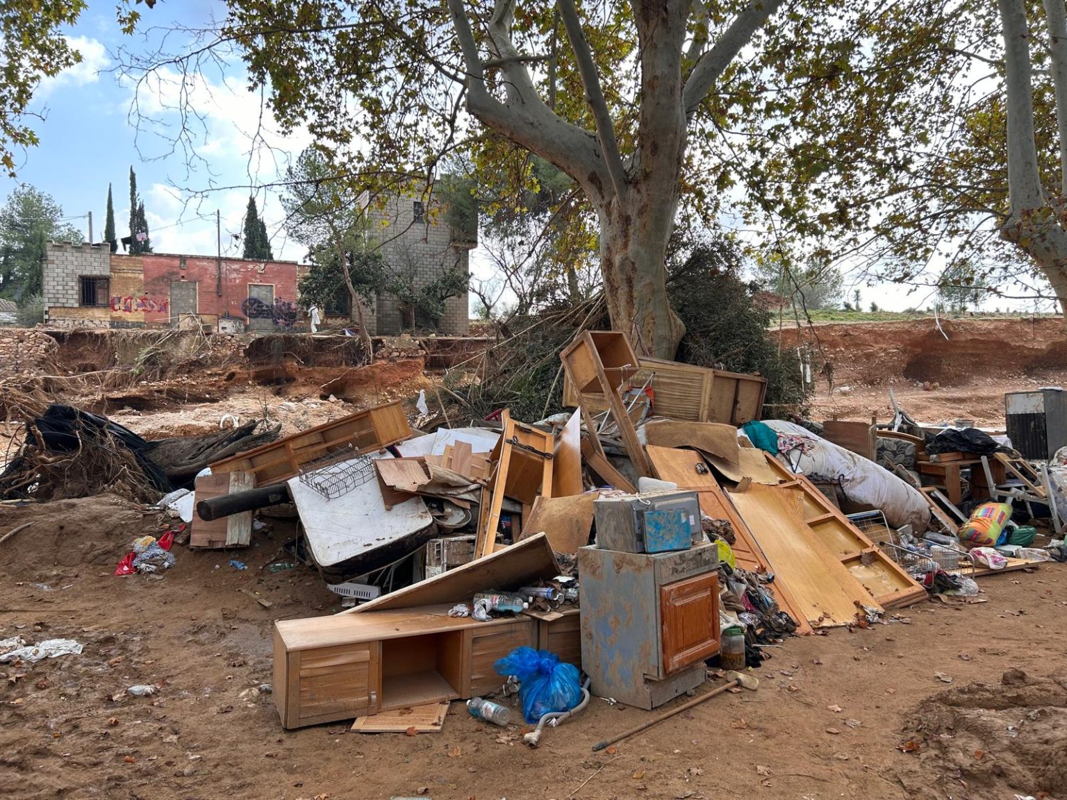
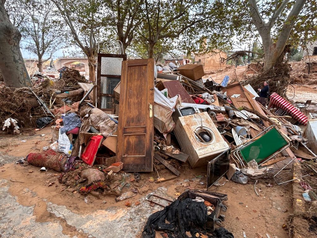
The flooding in Valencia and other provinces during the October 2024 DANA was the result of an unusual combination of meteorological factors that rarely align.
Experts have called it an ‘extraordinary episode’ that is unlikely to be repeated anytime soon.
Even so, Biener and others caution against complacency. He pointed out that even smaller rain events – if concentrated into a short time frame – can cause major damage in densely built-up coastal areas.
Read more Spain weather news at the Spanish Eye.